Pix4Dmapper: Unlock the Power of Photogrammetry
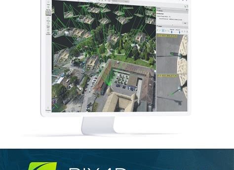
Pix4Dmapper is a cutting-edge photogrammetry software that transforms images into high-quality, georeferenced 2D maps and 3D models. Designed for professionals and enthusiasts alike, this powerful tool leverages advanced algorithms to create accurate and detailed spatial data from images captured by drones, cameras, and other imaging devices.
Key Features
- Automated Processing: Seamlessly convert images into 2D maps and 3D models with a user-friendly interface that simplifies the workflow.
- Georeferencing: Enhance map accuracy with georeferencing capabilities, ensuring precise alignment with real-world coordinates.
- Various Outputs: Export your results in multiple formats including point clouds, meshes, and orthomosaics for compatibility with other software.
- High-Quality 3D Models: Generate textured and color-rich 3D models that can be used for analysis, presentations, and inspections.
- Collaboration Tools: Share your projects easily with team members or clients and collaborate in real-time with integrated cloud services.
- Customizable: Tailor your mapping projects to meet specific requirements with adjustable settings for every aspect of the software.
Whether you are in the fields of construction, agriculture, mining, or surveying, Pix4Dmapper provides the necessary tools to enhance your workflow and achieve stunning results. Harness the potential of aerial imagery and take your mapping projects to the next level with Pix4Dmapper!
Leave a Reply